Autonomous Drone Operations
Surveying, Inspection & Blast Management
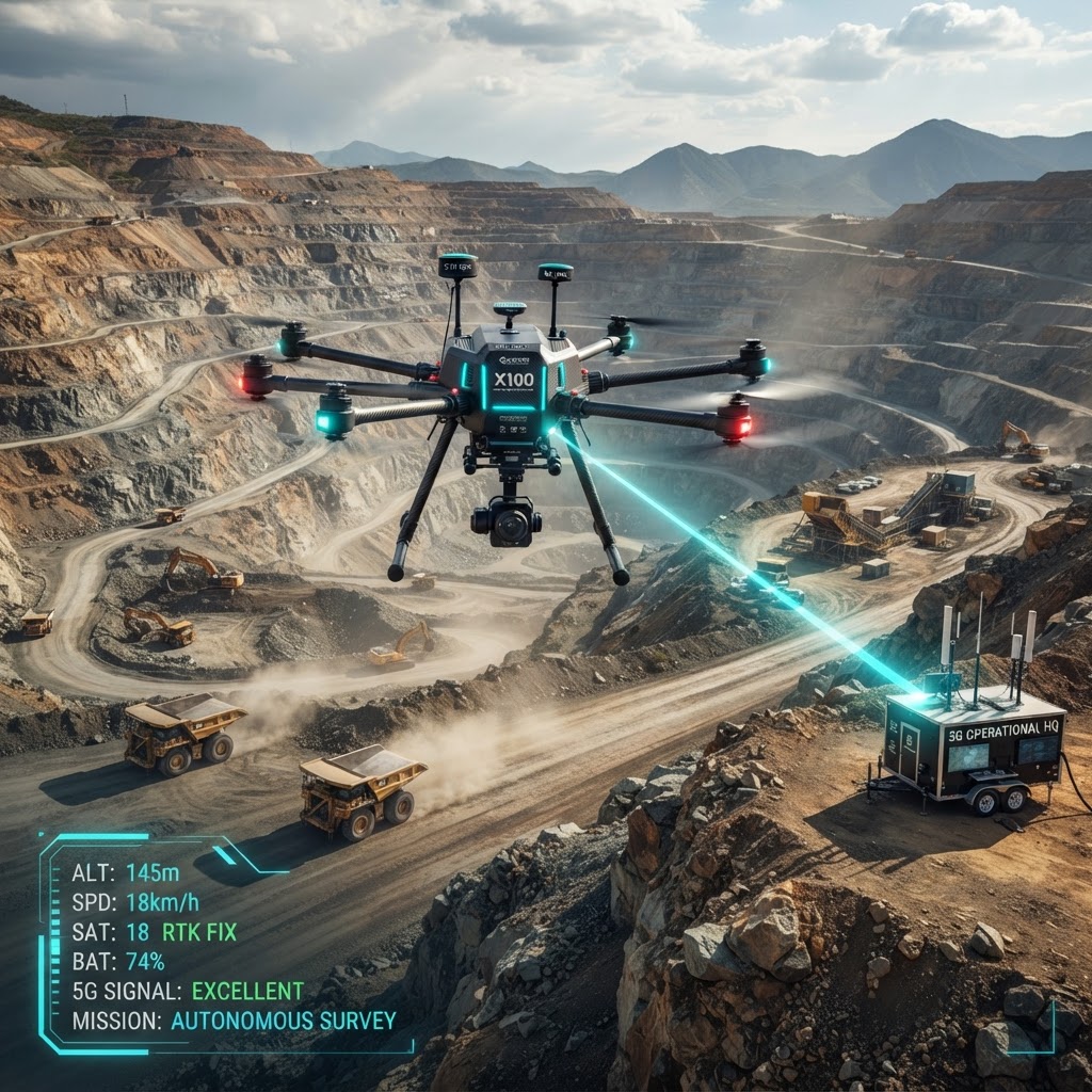
Autonomous drones for survey mapping, slope stability inspection, blast zone clearance, and stockpile volume measurement.
Why Now
Survey Costs
Manual ground surveys cost $50K/month; helicopter surveys $2,500/hour
Safety Imperative
Surveyors injured on unstable slopes; fatal accidents 2x industry average
Production Delays
Survey delays hold up mining operations for days
Regulatory Pressure
Daily surveys now required for slope stability compliance
Technology Maturity
Autonomous drones now achieving 2cm accuracy with RTK GPS
Peer Adoption
Leading mines demonstrating 90% cost reduction with drones
The Operational Challenge
Traditional surveying and inspection methods are slow, dangerous, and expensive in open pit environments.
Surveying Delays
Ground-based surveys take days to complete, delaying mining operations
Safety Risks
Surveyors and inspectors work on unstable slopes and near blast zones
High Costs
Manual surveys cost $50K+ per month with helicopter surveys at $2,500/hour
Blast Clearance
Visual inspection of blast zones misses personnel and equipment, causing delays and risks
Inaccurate Volumes
Stockpile measurements off by 10-15%, impacting inventory and financial reporting
Slope Monitoring
Cannot monitor high wall stability continuously, missing early failure warnings
The Private 5G Enabled Solution
Autonomous Surveying
Daily automated drone flights generate 2cm-accurate 3D models of entire pit
Blast Zone Clearance
Pre-blast drone sweep uses thermal and visual cameras to ensure area is clear
Stockpile Volumes
AI calculates precise ore and waste stockpile volumes within ±2% accuracy
Slope Monitoring
Daily high-wall inspection detects cracks, movement, water seepage early
Live Video Feed
5G enables real-time 4K video streaming from drones to control center
Automated Reporting
Survey data automatically updates mine plan and digital twin models
Technical Architecture
Integrated drone platform with real-time data streaming and automated workflows.
Performance Specifications
Automated Flight Plans
Pre-programmed daily survey routes with RTK GPS for centimeter-level accuracy
Real-Time Processing
Edge servers generate 3D models within 30 minutes of flight completion
AI Object Detection
Automatically identifies equipment, personnel, hazards in blast zones and work areas
Change Detection
Compares daily surveys to detect slope movement, new cracks, or unexpected changes
Network Engineering Considerations
Autonomous Flight Operations
Pre-programmed daily survey routes with RTK GPS for 2cm accuracy
Real-Time 4K Streaming
5G enables live HD/4K video from drones to control center
Edge Processing
Generate 3D models within 30 minutes of flight completion
AI Object Detection
Automatically identify equipment, personnel, hazards in blast zones
Change Detection
Compare daily surveys to detect slope movement and new cracks
Automated Integration
Survey data automatically updates mine plan and digital twin
Measurable Business Impact
Operational Impact
- 10x faster survey completion
- 98% accuracy in volume measurements
- Daily pit updates vs weekly
- Zero surveyor safety incidents
Financial Impact
- 90% reduction in survey costs
- $8M improved inventory accuracy
- Eliminated slope failure losses
- Faster production ramp-up
Strategic Impact
- Real-time operational intelligence
- Enhanced planning accuracy
- Competitive cost advantage
- Foundation for autonomous mine
Deployment Model
Phased introduction of autonomous drone operations across mine site.
Regulatory Approval
Obtain BVLOS permits, establish geofenced flight zones, safety protocols
Pilot Operations
Deploy 2-3 drones for daily surveys, validate accuracy against ground surveys
Operational Integration
Integrate survey data into mine planning, expand to blast clearance and inspection
Full Automation
Scale to full autonomous fleet with scheduled flights and automatic data processing
Sample ROI Snapshot
Financial analysis for open pit mine with 5km² active area
Current State
With Private 5G
3-Year Financial Projection
| Metric | Year 1 | Year 2 | Year 3 |
|---|---|---|---|
| Investment | ($2,500,000) | — | — |
| Annual Benefit | $9,500,000 | $10,500,000 | $11,500,000 |
| Net Benefit | $7,000,000 | $10,500,000 | $11,500,000 |
| Cumulative | $7,000,000 | $17,500,000 | $29,000,000 |